Presentations of Students
To encourage active learning of students, students were required to present in evening preentation sessions. To finish the tasks, students needed to do various kinds of work such as doing interviews, attending lecture,and joining guided-tours etc. This allow the students to apply theoretical knowledge, co-operate each other and interact with the local people. Topics of diverse aspects were assigned to each group to broaden the horizons.
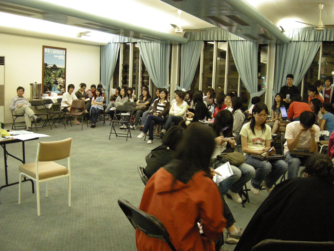
Students attending presentation sessions in hotel conference room
The Focus Topics by Day
Day 1 Knowing Cairns City and The Region
Students started the Australia trip with a walk of Cairns City, which is a small city but unique in its relationship with the surrounding area. It lies between two world heritage areas, namely the Great Barrier Reef and the Wet Tropics of Queensland. Because of its location, the city has evolved into a center for the flow of commodities and tourists in northern Queensland. The main purposes of this exercise were to:
Familiarize with Cairns and its place in northern Queensland
Practise observation skills and identify some unique features and characteristics of Cairns to improve students' study plan on 24 May
Group presentation files:
- Group A :Cairns in the eyes of tourists pdf file
- Group B: First impression on Cairns pdf file
- Group C: Multi-nationality on food in Cairns pdf file
- Group D : Recreation land use in Cairns pdf file
Day 2 The Atherton Tableland
The purpose of this visit was to understand the regional geography and man-land environment of Atherton Tableland . The places of visit and themes are as follows:
|
Place |
Themes |
1 |
Cairns coastal plain |
Interface between the Coral Sea & Tableland |
2 |
Kuranda |
Tropical rainforest ecotourism hotspot |
3 |
Barron River & Lake Tinaroo |
Water resources development – irrigation, water supply, HEP, flood control, recreation etc |
4 |
Mareeba-Dimbulah Irrigation Channel |
Agriculture – auxiliary energy subsidy, market gardening, horticulture, fruit crops, pasture etc |
5 |
Atherton |
Largest town on Tableland – historical development & contemporary role |
6 |
Yungaburra |
Tourism hotspot |
7 |
Danbulla National Park |
Ecotourism, heritage area resource use, Cathedral Fig Tree |
8 |
Malanda Falls |
Tourism & recreation |
9 |
Lake Eacham & Lake Barrine |
Crater lakes, ecotourism hotspots |
10 |
Gordonvale |
Agroecosystem, sugarcane plantation & mill,
impacts of agriculture on environment |
|
|
Students taking photos on the Atherton Tableland |
The beautiful Lake Tinaroo |
To understand the regional geography of Atherton Tableland, each group was given a specific task below.
- Group A : Wet Tropics of Queensland Heritage Area – Good practices in heritage area conservation and management, as well as conflicts between conservation and development pdf file
- Group B : Agriculture – Agricultural potentials and constraints, energy subsidies (agrochemicals, irrigation, mechanization etc), impacts on environment, crops pdf file
- Group C: Tourism/recreation – Tourism/recreation resources, demand and impacts on the environment pdf file
- Group D: Land use from coastal plain to the Great Dividing Range – Types of land use and distribution, characteristics and effect of physical environment etc pdf file
Day 3 The Great Barrier Reef (Green Island)
The Green Island, about 27 km east of Cairns, is one of the coral reefs of the Great Barrier Reef World Heritage Area (GBRWHA) of Australia. The GBRWHA is both a biodiversity and tourism hotspot. It is also one of 300 sand cays, formed about 6,000 years ago during the last Ice Age, on the Great Barrier Reef but the only one with a topical rainforest. The theme of today’s study is reef conservation and management, tourism development and threats.
- Group A : Reef tourism and recreation pdf file
- Group B : Great Barrier Reef World Heritage Area (GBRWHA) pdf file
- Group C : Conservation and sustainable management of the Coral Reef pdf file
- Group D : Visitor impacts, threats and future development of Green Island pdf file
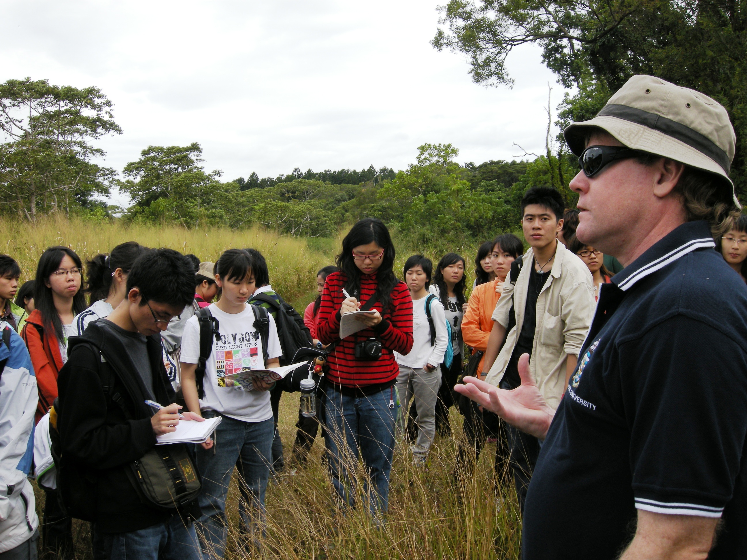
Day 4 James Cook Uniersity and Smithfield Conservation Park
To many students from Hong Kong, it is perhaps a lifetime experience to visit a tropical rainforest that has the highest species biodiversity in the world. A biogeographer from James Cook University (JCU), Professor Stephen Turton, gave the students a lecture on this topic and personally leaded the students to visit a tropical rainforest near the university.
About the speaker
Professor Stephen Turton is a biogeographer and climatologist, who is the Executive Director for the James Cook University/CSIRO Tropical Landscapes Joint Venture, Australian Tropical Forest Institute located at James Cook University in Cairns. His research interests include rainforest ecology, tropical climatology and natural resource management. He is a Councilor of the Institute of Australian Geographers.
|
|
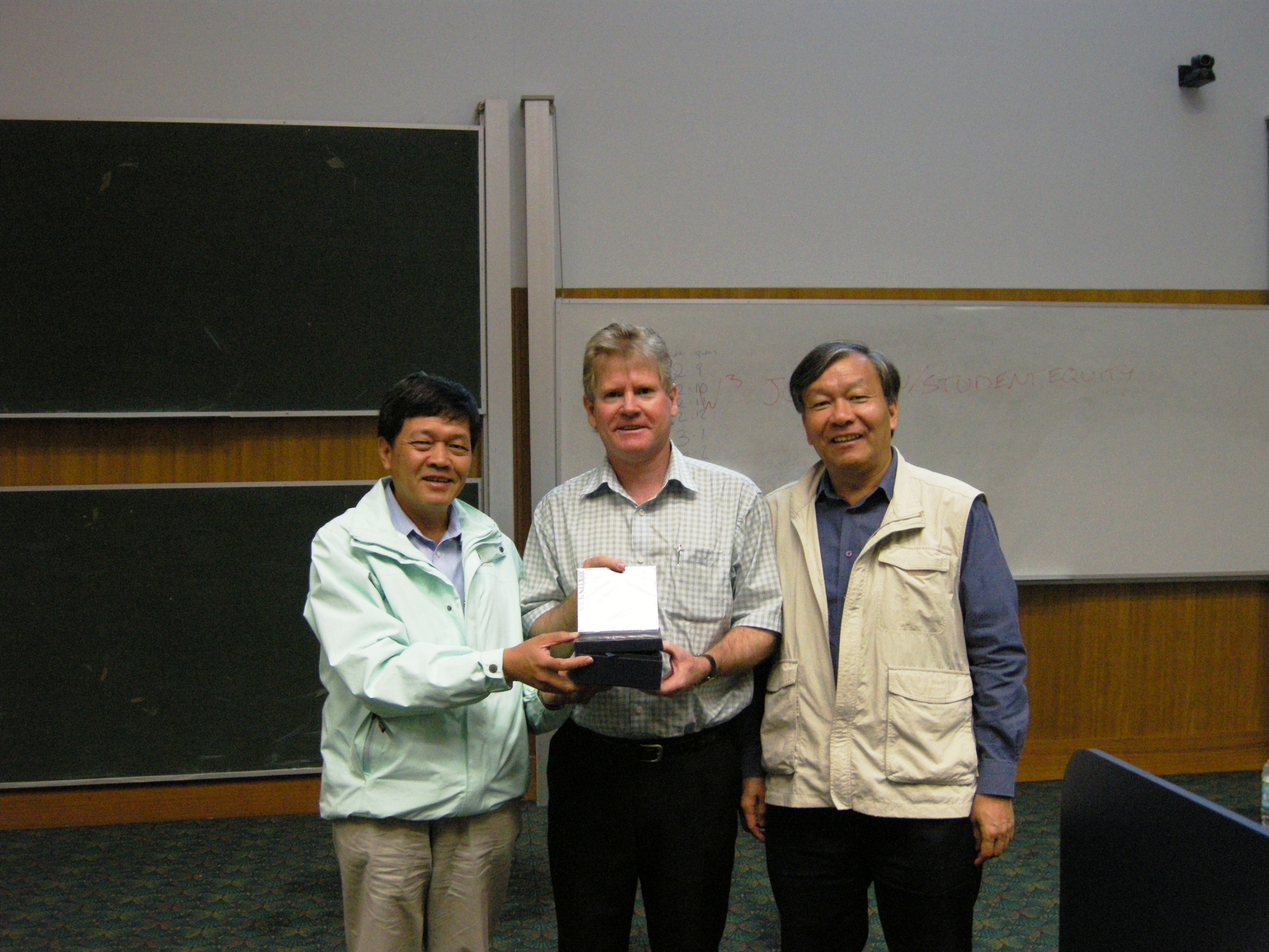
| From the left: Prof. Lam Kin Che, Prof. Stephen Turton and Prof. Chau Kwai Cheong |
Prof. Turton teaching the students in the Smithfield Conservation Park |
Smithfield Conservation Park is part of the Wet Tropics of Queensland World Heritage Area (WTQWHA). It is currently used as a field teaching station by JCU. Although sampling is not permitted inside the heritage forest, students were still required to perform the tasks below to fulfill your learning experience.
- Group A : Forest structure including the different layers of vegetation, plant forms, litter layers, soil, wildlife species and biodiversity. pdf file
- Group B : Forest processes including energy flow (grazing and detritus food chains), nutrient cycling (litterfall, throughfall and stemflow) and litter decomposition (mineralization and humification). pdf file
- Group C : Forest environment including the microclimate of light intensity, humidity, air temperature, as well as soil moisture and temperature. pdf file
- Group D : Summarize the opportunities and challenges in the sustainable management of Queensland’s tropical rainforests. pdf file
Day 5 Cairns City
Having visited two heritage areas at close proximity to Cairns, we return to examine its land use, environment, and functional role in northern Queensland.
Group A Land use
Identify and map the different types of land use in Cairns including: Commercial, residential, industrial, open space, transport, government/institution/community, agriculture, recreation, green belts and parks, conservation area and coastal protection area etc. pdf file
Group B Urban vegetation
Urban vegetation or greenery is an important component of a city. It refers to trees, shrubs, climbers, grasses and herbs that are planted along a street or in open space, parks and stadium. These plants perform different functions in a congested urban environment; namely, climate amelioration, beautification, traffic noise reduction, air cleansing, softening hard architectural lines and screening of unsightly objects etc. pdf file
Group C Functions of Cairns in northern Queensland
Cairns is strategically located on the coast of northern Queensland in between the Coral Sea and Cairns Highlands. Gorp C has to prove that Cairns is a regional city in the area. pdf file
Group D Waterfront design and use
Waterfront design and use in Cairns is unique and different from that of Hong Kong. The purpose of this study is to examine the concept, features and good practices of waterfront design in Cairns. The study area shall be confined to the coastal strip in front of the Esplanade. pdf file
Sydney Part:
Day 7 The City Forming Process
The purpose of the study is to find out the driving forces and changes that have taken place to make Sydney a World City.
The attributes of a World City will include the following:
- Key location of major financial centers/financial services;
- Concentration of the headquarters of transnational corporations;
- International institutions;
- Centre of global accumulation of capital;
- A commanding nodes (control point) of the global system;
- Additional characteristics such as centres of political power,
- National transportation centres,
- Centres of science and education, arts, media and entertainment;
- There is rapid growth of business services.
To understand the urban transformation process, students are divided into four groups, focusing respectively on:
- CBD – driving forces and characteristics which make Sydney a World City
- Urban Regeneration – land use changes and planning/design efforts to revitalize old industrial areas
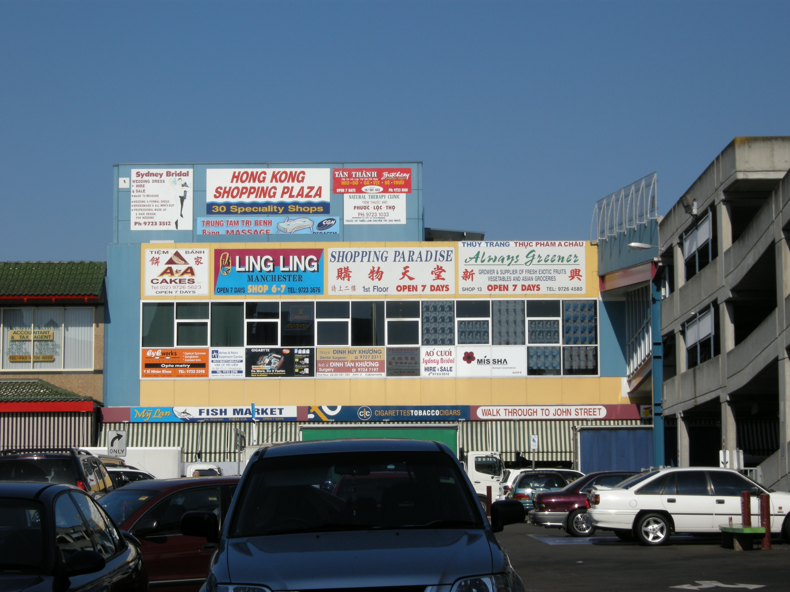
- Chinatown & Vietnamese Town – study of two enclaves in the city which reflect the multi-ethnicity of this World City
- Urban Slum – characters and changes in the poorest part of the City which is just adjacent to the City centre
The theme and sub-themes for the groups on Day 7 are listed as follows:
- Group A : CBD pdf file
- Group B : Urban Regeneration pdf file
- Group C : China/Vietnamese Towns pdf file
- Group D : Urban Slum pdf file
|
|
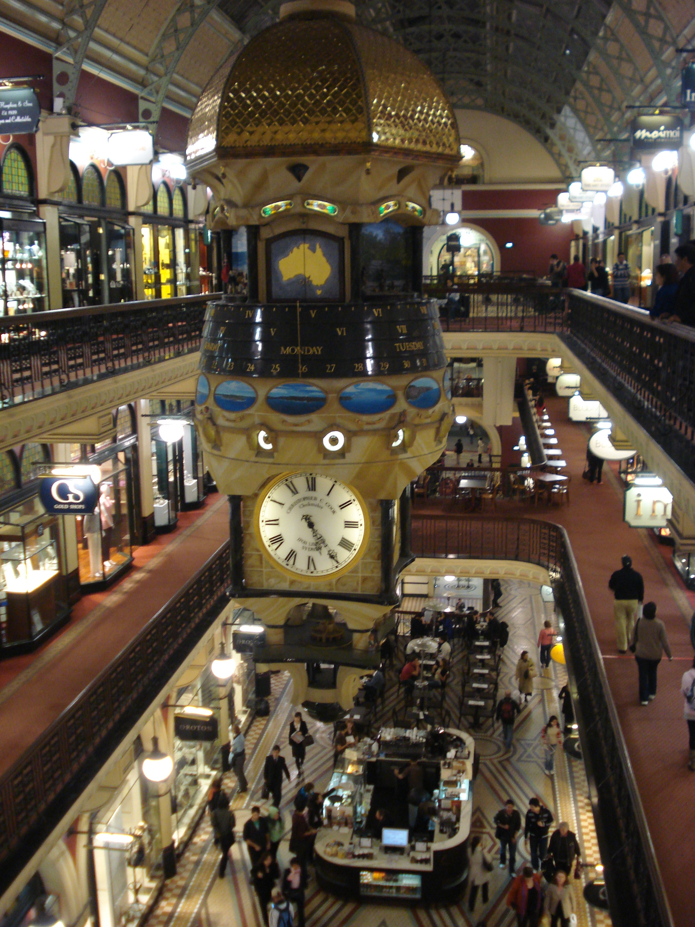
The Queen Victoria Building (QVB) |
Cabramatta - One of the Chinese/Vietnamese Towns in Sydney |
Day 8 Urban Design for Liveability
To enhance “liveability”, the city should:
- offer a wide range of activities and opportunities
- offer a high quality environment
- provide a public realm of parks and open spaces
- maintain a retail renaissance, including more restaurants and cafes
- provide abundant facilities for arts and cultural pursuits, including public places and historical heritage
- cater for the needs of pedestrians, commuters, shoppers and the disabled supported by comprehensive and tasteful signage
On Day 8, the four groups will examine the following aspects:
- The Streetscape and Pedestrian Environment
- Urban Parks
- Public Place, Squares and Museums
- The Waterfront
The theme and sub-themes for the groups on Day 8 are listed as follows:
- Group A : The Streetscape and Pedestrian Environment pdf file
- Group B : Urban Parks pdf file
- Group C : Public places, Squares and Museums pdf file
- Group D : Water front pdf file
Day 9 Groeth of Sydney Metropolis
All of Australia’s large cities have distinctive rural-urban fringes. These fringes, as in Sydney, contain both an outer suburban area of metropolitan growth, and the countryside further out. There is often a mixture of rural and urban activities.
Sydney is the fastest growing city in Australia. To accommodate the increase in population, the spatial extent of Sydney keeps on increasing all the time, resulting in more and more suburbs. The location and pattern of suburbanization is determined by the network of highways and railways, as well as the land value and living conditions in the city centre.
Suburban areas are characterized by the daily commuting by residents to the CBD and other urban areas for work. Most of the outer suburban areas like Mt. Druitt, Eastwood, Hornsby and even Blue Mountains have accommodated most of Sydney’s population growth since 1981. One of the concerns of unabated suburbanization is the convergence of traffic into the City Centre if the suburbs are not self-sufficient and if the City Centre and suburbs are not connected by “sustainable” transport. The urban form of a metropolis is shaped to a large extent by the transport strategy and technology. The same urban growth pattern is also echoed in Hong Kong, in the form of “New Towns”.
For this part, students are divided into four groups to visit four sub-groups, examining (a) Eastwood – a suburb on the rail network with a concentration of ethnic groups; (b) Mt. Druitt – a relatively new and self-sufficient suburb on the railway far away from Sydney City Centre; (c) Hornsby – a middle class suburb served by rail and highway; and (d) Manly – a upper-middle class suburb served by public bus and ferry.
- Group A :Eastwood – Macquarie Centre: Suburb with Strong Ethnicity pdf file
- Group B :Mt. Druitt – Suburb in the Far “West" pdf file
- Group C : Hornsby – Middle-class Agglomeration pdf file
- Group D : Manly – Affluent Suburb on the Seaside pdf file
|