|
Group 5: Toronto Waterfront Revitalization programme
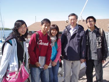
In this North America Field Trip, we visited Toronto and Waterloo. Everybody knows that field trip is very important for Geography students, because we can see the real world and apply what we have studied before into the real world. This time, we had the field trip with Dr. Fung, who is very familiar with these two cities, and we have gained lot knowledge about geography, customs, and living style of Canada accompanying with Dr. Fung.
Our project is about the waterfront area in Toronto, since both Hong Kong and Toronto are famous costal cities; we decided to compare the waterfronts in both cities. After visiting the Toronto Central Waterfront and comparing it with Hong Kong Tsim Sha Tsui Waterfront, we found that there are some drawbacks of the Toronto one and advantages of our Hong Kong one, so we can absorb the good ideas of planning a waterfront of both cities, which is extremely worthy and valuable to our further studies. Also this can really show the flexibility of GRM department, we can do what we want and handle it all by ourselves.
|
Waterfront Development Projects - Central Waterfront
Introduction
Central waterfront contains over 800 hectares of land in which are mostly vacant and underused. Over 70 percent of lands are in government ownership, so that revitalization can be in a huge scale. The plan will focus on 10km of shoreline, including Exhibition Place, Central Bayfront, Harbour Front etc. Now, the Central waterfront is undergoing the second stage of revitalization which is called “MAKE WAVES”.
Map showing the location of Central Waterfront |
Core principles of the project
- Removing barriers/ making connections
- A network of parks and public area
- To promote a clean and green environment
- To create dynamic and diverse new communities
|
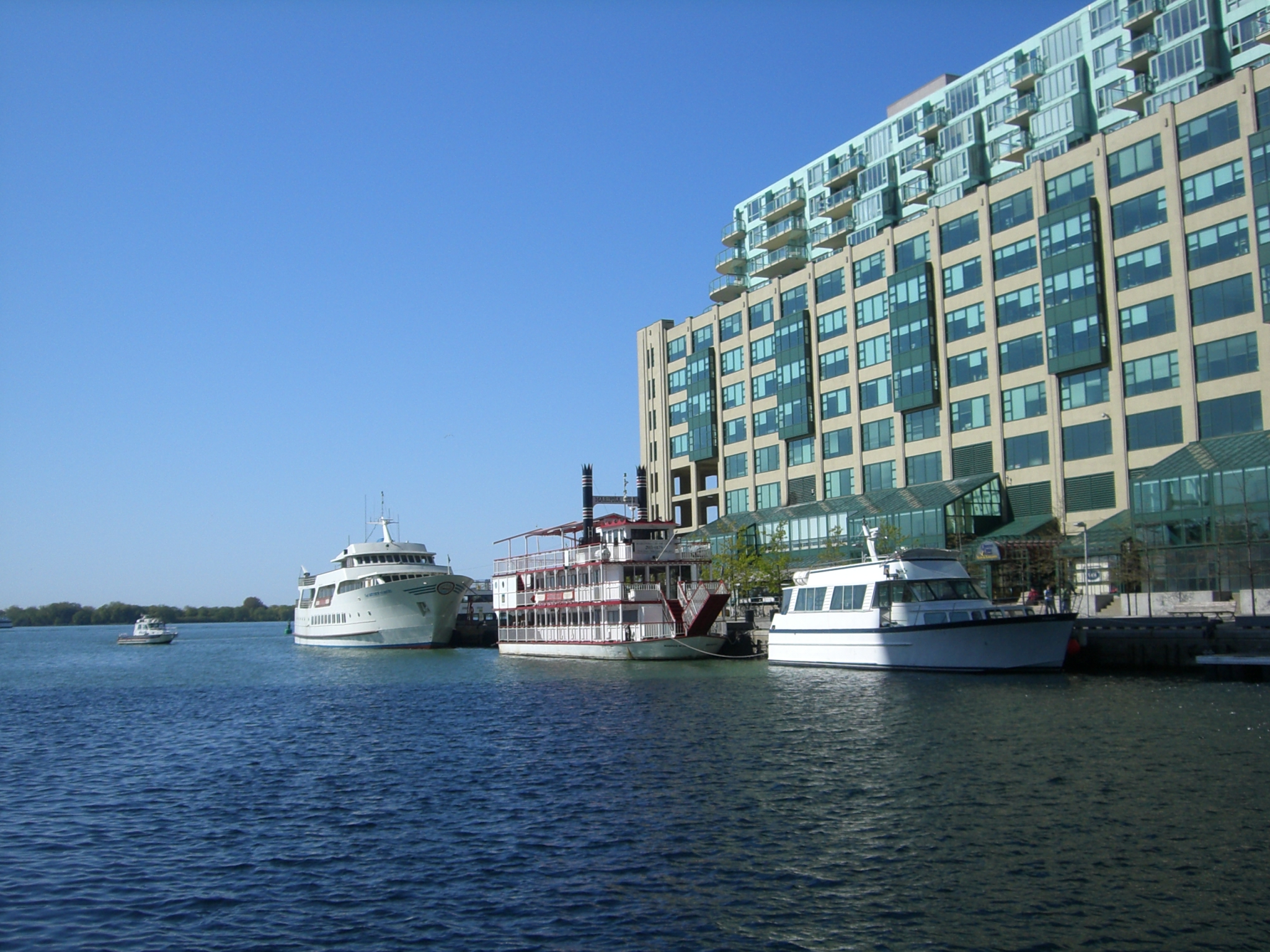
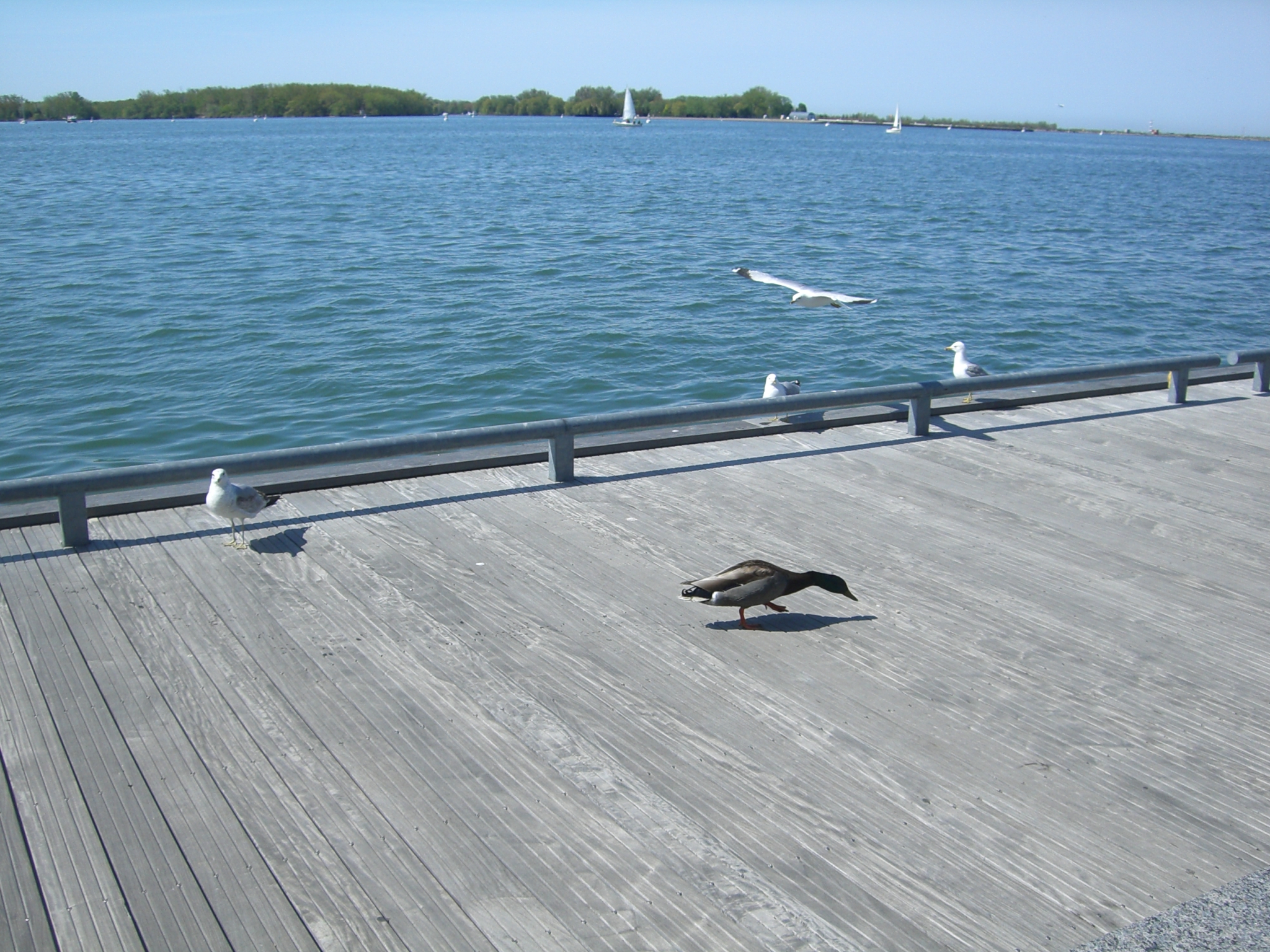
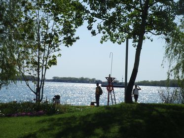
The Central Waterfront |
| Removing barriers/ making connections
In fact, the connection between waterfront and the city is now cutting off by the Gardiner Expressway. One of the aims is to re-connect the inner city (downtown) to the lake Ontario.
In the future, there will be:
- GO transit: to upgrade the Union Station, also build one more station and a new transit line from Exhibition Place to Port lands
- Re-locate the highway to underground
- Right-of-ways: providing Bus lines and Streetcar lines in road and also widening roads
- Transform more roads for cycling
- To build cultural corridors from the lake to the inner city
|
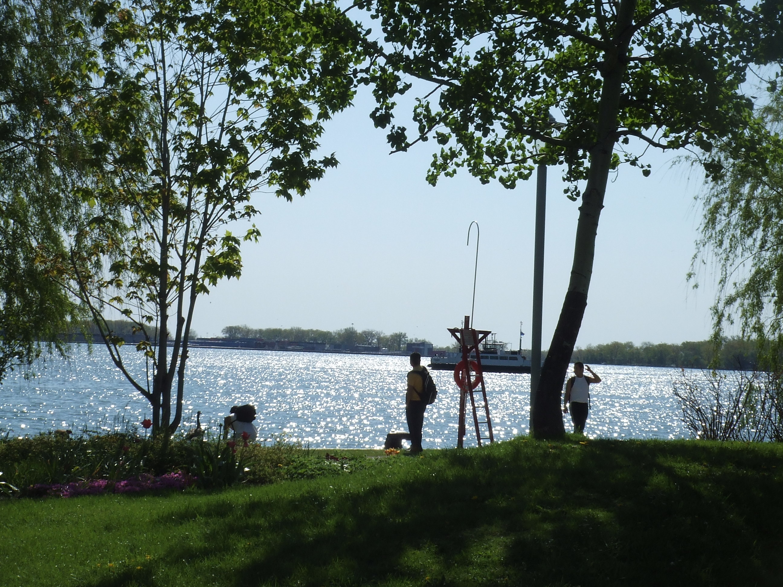
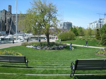
| A network of parks and public area
Aim to build a waterfront as a destination for tourists, celebration and local enjoyment. Therefore, it is supposed to create more parks and public areas.
Along the waterfront:
- Create more parks, e.g. To larger the New Frot York Park also build a new lake Ontario Park along the north shore
- Ship channels: in order to accumulate transportation speed, it is proposed to build channel from inner harbour to the lake
Design of park: More sustainable: use new technological method to reduce the disturbance but more ecological
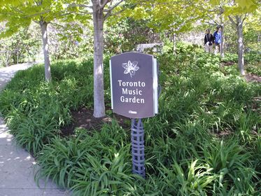
Toronto Music Garden |
To promote a clean and green environment
Aim to reduce the use of autos, also building flood prevention berm along the Don River and re-naturalizing the month of the Don River
- Promoting local sustainable in which to encourage citizen to live and work close together in order to reduce commuter trips
- Reclamation is limited only for stabilizing shorelines, but not for land creation
- Use of eco-friendly power: e.g. anaerobic digestion, solar and wind power
- Water treatment as close as the source of pollution
|
To create dynamic and diverse new communities
To design district with suitable function, includes:
- Port Land - Green industries
- West Don Lands - mixed-use communities
- East Bayfront - Working and living
- Exhibition Place - A place for work, live and celebrate
Policies:
- Balance of land uses: To build new schools, community services related facilities
- Housing option: To offer affordable and low-end-of market housing
- Creating special places: To keep and rehabilitate view corridors, also providing space for bio-technology industries
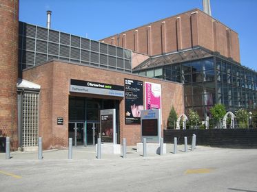
An exhibition gallery --- In the past, it was a power plant
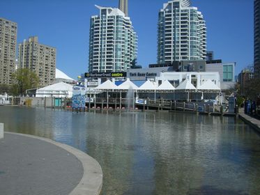
Harbourfront Centre and York Quay Centre
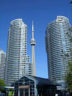
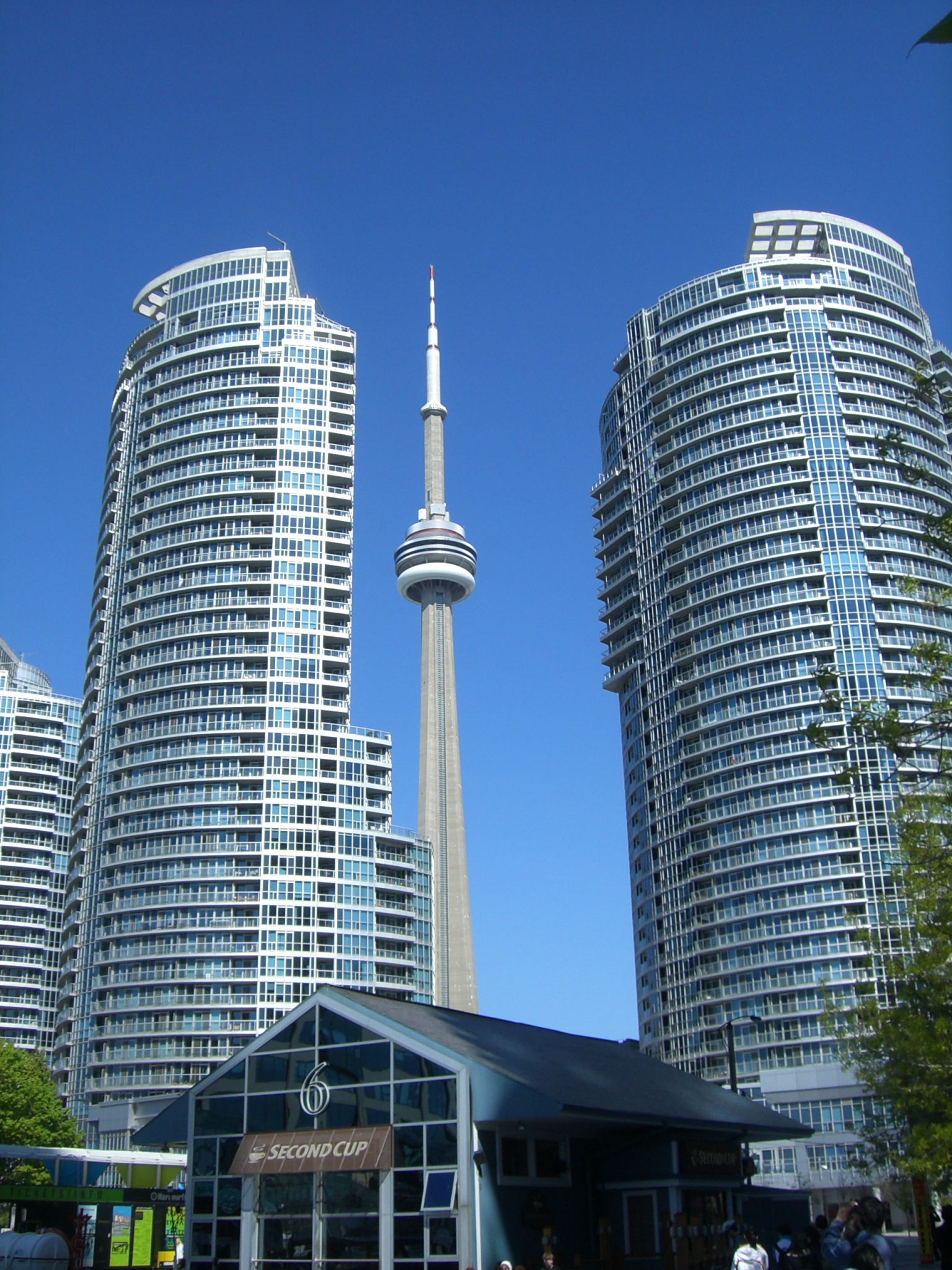
CN Tower --- The world's tallest freestanding structure on land
|
Reference
City of Toronto (2007). City of Toronto: Waterfront. Retrieved July 1, 2007 from http://www.toronto.ca/waterfront/index.htm
The University of Idaho Community (2007). Design and Planning Research Page. Retrieved June 30, 2007 from The University of Idaho Community , Web site: http://www.class.uidaho.edu/communityresearch
Travel + Leisure (2007). Travel + Leisure. Retrieved June 30, 2007 from Travel + Leisure, Web site: http://www.travelandleisure.com/
TWRC (2006). TWRC. Retrieved June 30, 2007 from , Web site: http://www.towaterfront.ca/index.php?home=true
Wikipedia (2007). Toronto_waterfront, Retrieved June 30, 2007 from , Web site: http://en.wikipedia.org/wiki/Toronto_waterfront
|
|